Passing former mining towns, desert landscapes, and secluded byways both on and off-road, this ride is doable on your standard ADV motorcycles with 70/30 tires.
The canyon section near Terra is a section of the historic Lincoln Highway, one of America's first transcontinental roads designed for automobiles. Or go back further in time with a dirt detour down a segment of the Pony Express Trail. Stop and read the stone markers to learn more about the history of the short-lived service.
In the summer, roads will be dry but the air will be hot. Plan ahead and pack water, snacks, and sunscreen. If you're going alone, bring self-rescue equipment in case of a drop, breakdown, minor injury, or flat tire.
Sights
Eureka: Pass through a quiet, historic mining town that in the late 1800s was the financial center of the gold and silver Tintic Mining District, and home to the second ever JCPenney store (originally called the "Golden Rule Store"). Today, it's a sleepy little town tucked in the canyon with a few shops and restaurants, including the well-reviewed Cast Iron Bistro
Aunt Libby's Pet Cemetery: In the middle of what feels like nowhere, you'll find a humble cemetery originally built in 1888 that serves as the final resting place to Aunt Libby Rockwell's beloved dogs, as well as several family members.
Tips
This route takes you along the gated border of a US Army military facility. You are free to travel on these public roads, but obviously don't jump any fences and be cautious about what you are photographing. Don't be suspicious.
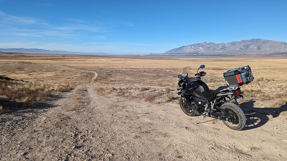
The dirt sections are what I would consider 2/5 difficulty. They are wide gravel roads, but you may encounter silty sections, or ascents/descents with loose gravel. There are many off-shoot roads and trails that may be more difficult so travel at your own risk.
If you plan on a day-long ride, bring a water bladder or Camelback to stay hydrated, some munchies, and a phone charger or USB cable. You do not want to get stranded!
Your best stops for fuel before exploring the desert are in: Dugway, Stockton, Eureka and Saratoga Springs. There are no fuel stations you can detour to within the blue route loop on the map.
225
Miles Roundtrip
5-6 hours
Duration
Mixed
Primary Road Surface


If you can't see a map here, it is due to seasonal roadway closures breaking our route maps. It will be repaired in the spring.
Notes
No route fees!
All images: Original photography by Utah Touring